Once again I'm sorry that this is so delayed. There just hasn't been any down time!
We woke up in the middle of the night after Yosemite (3rd July) to the sound of heavy rain and thunder. The lightening was striking almost right on top of us. All I could think as I lay there was about how much wet tents would delay us the next morning as we had a long drive to Death Valley National Park and then on to Las Vegas after that.
As it turned out, the storm did not slow us down too much and we were on the road by 8.30. Our route followed the side of the Sierra Nevada mountains as we headed south. The landscape was quite interesting and seemed to be a sort of transition from the alpine forests on the mountainside to the dry desert just to the east.
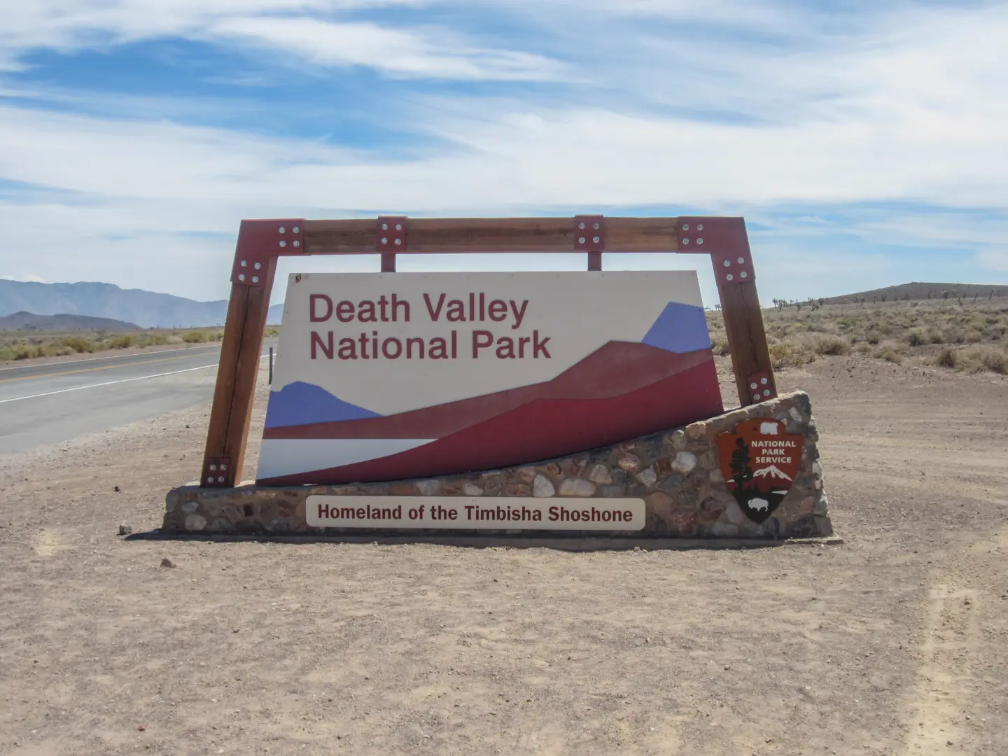
Death Valley contains the lowest point in North America at 86m below sea level. As we entered the park we were still more than 1km up so we knew that a big drop must be coming. The first section of the park was quite flat however and we had good views of Mt Whitney, the highest point in the lower 48 states.
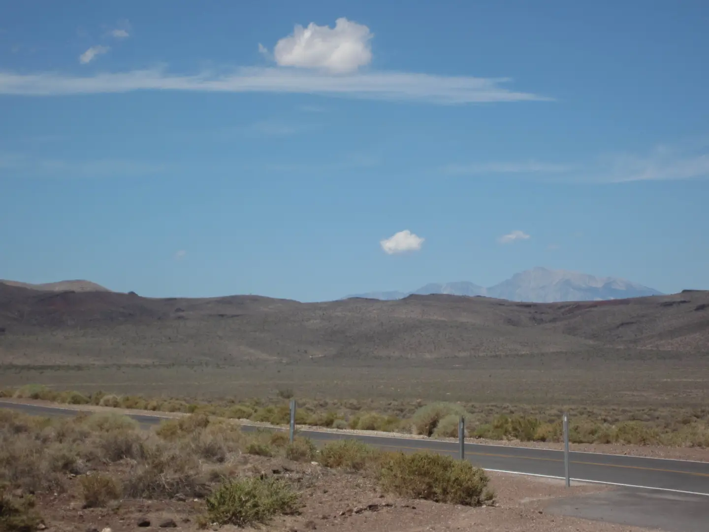
Looking toward Mt Whitney
There are two large valleys that run through the park and we crossed them both. The descent into the first was very steep with sharp bends and drop offs. As we started up the road over the mountains that run between the valleys we were warned by a sign to turn off the air conditioning to prevent the car from overheating. Death Valley is known for having the hottest temperature on record in the world so we obliged and suffered for the next twenty minutes as the car slowly crossed the range.
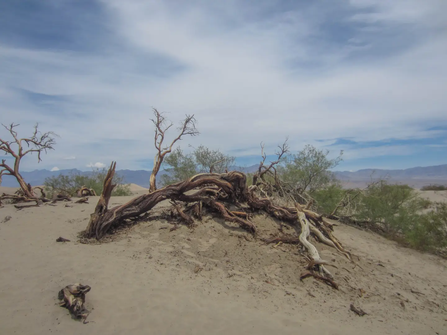
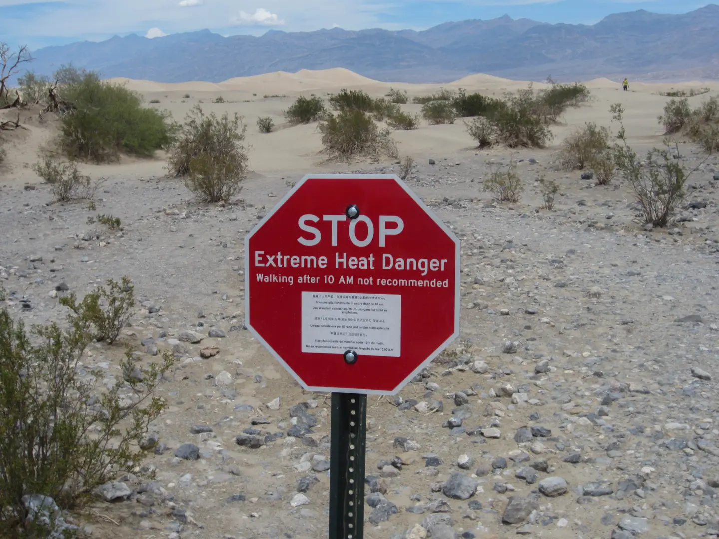
In the second valley we stopped at the Mesquite Sand Dunes. This would have to be the most intense heat I've experienced. The air was hot but what really stood out was how how the ground was. A sign said that the surface temperature can get up to 93 degrees Celsius. It was so hot that Rez's sandals melted apart and I felt as if my soles were melting through. There was also signs warning against walking after 10am.
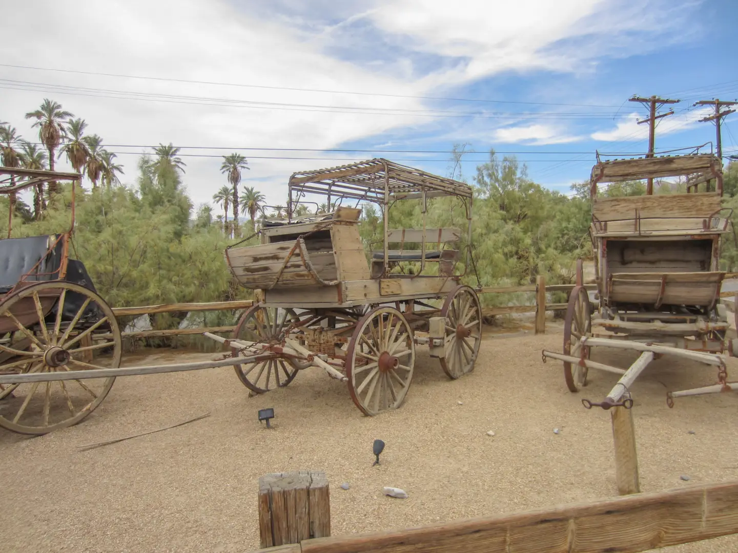
A little further down the road we stopped at Furnace Creek, the location where the temperature record was observed. Furnace Creek is a little town right in the middle of the valley and close to the lowest point. Points of interest was the highest priced gas I've seen so far (over $5 a gallon) and a cool little museum on the history of the area.
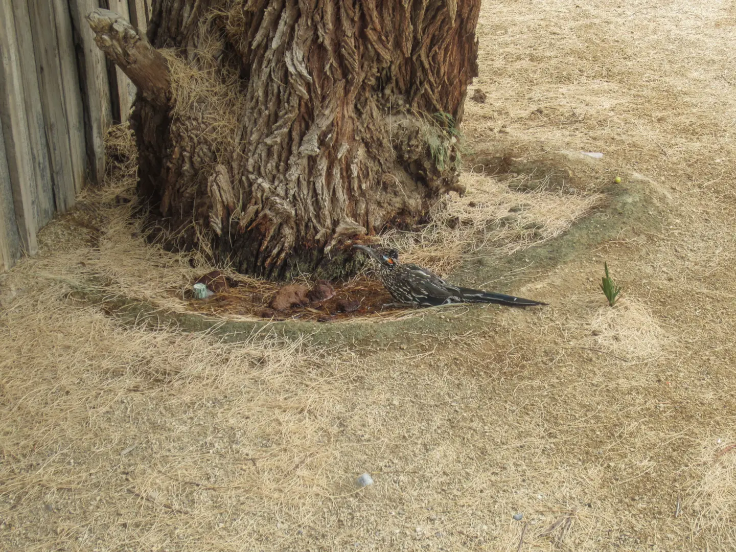
Roadrunner
After a short stop at Furnace Creek we had a two hour drive left to Las Vegas where we would meet up with Hannah. The drive was fairly uneventful however we did cross our first state border into Nevada. We were hoping to see a big Nevada sign but we ended up missing it and only realising that we had made the crossing when the road surface changed from normal to crumbling.
Next up is Las Vegas!